Remote sensing is a rapidly growing research field with diverse applications, including aerial traffic control and geographical mapping. A notable area of interest is the utilization of real-time data from remote locations for surveillance and disaster management.
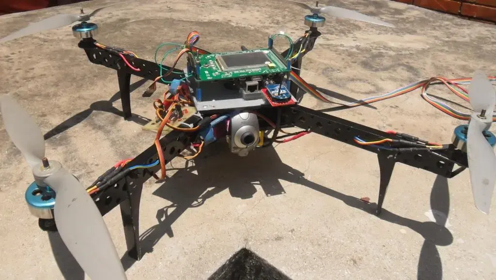
This project focuses on implementing remote sensing through a ground-controlled quadcopter capable of transmitting images, temperature, and altitude data via RF communication. The quadcopter, guided from a base station, stabilizes itself using quad-rotor control. Applications include identifying and monitoring disaster-stricken areas, establishing mobile communication links through ad-hoc networks, detecting hazardous materials, and delivering medical payloads.